

A trio of new University of Georgia research efforts focused on optimizing geospatial artificial intelligence to enhance and contribute to public safety and resilience, ultimately benefiting communities, society, and the environment.
The capability to deploy GeoAI for real-time usage will enable first-responders to react rapidly to changes in terrain around the world resulting from climate change and natural disasters. The campus-wide research effort, which includes faculty from the Franklin College of Arts and Sciences and the College of Engineering, is funded by the U.S. Department of Defense to expand the capabilities of GeoAI models.
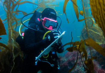
The work is particularly critical in cold regions around the globe that, as they continue to warm at a rapid pace due to climate change, also become increasingly conducive to commercial shipping, fishing, and other strategic activities. Remote sensing-based terrain awareness builds on existing UGA strengths in satellite-based mapping and modeling, as well as the development of sophisticated 3-D object detection for autonomous navigation applications.
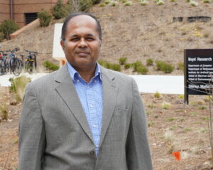
“The significant expansion in the need for geospatial AI coincides with UGA’s explosive growth of capacity across the AI research area,” said Deepak Mishra, Merle C. Prunty, Jr. Professor & Associate Head in the Franklin College Department of Geography and Principal Investigator on the new grant projects. “Air Force and Army Corps of Engineers’ interest in GeoAI comes at a fortuitous time for the university as we buildout and solidify our AI modeling techniques.”
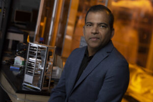
“This research seeks to address some of the fundamental challenges in building effective, efficient and practical AI tools for complex Geospatial problems,” said Lakshmish Ramaswamy, professor and associate director in the School of Computing and a co-principal investigator on the projects. “Our goal is to design novel AI architectures, algorithms and systems that take into account the unique characteristics of the geospatial domain.”
The success of UGA small satellite research along with Office of Research efforts to improve DOD funding on campus brought research faculty into the next era of developing payloads for satellites that can make decisions and process data while in orbit.
The challenges of transmitting high-resolution images and data to ground stations for processing arise from the limitations of first- and second-generation small satellite missions. UGA began equipping small satellites with an onboard Graphics Processing Unit (GPU) that could process and transmit the data during a single pass over the ground station, work that then moved into inhouse development of a 3-D terrain model.
Data from European Space Agency and NASA’ satellites provided the necessary training capabilities and access to the search for next-generation tools based on the DOD strategic priorities.
A partner institution with Northeastern on a 2022 US Army Corps-funded project, UGA was named the lead on a second $3 million project from the US Army Corps in 2023, for a total of three significant grants in a relatively short period of time. In addition to Army Corps projects, the team also received $4.7 million from Army Research Lab to work on GeoAI techniques in challenging environments.
“One great thing for us is the degree of overlap involved with these projects,” Mishra said. “All the projects share a common feature – that we design GeoAI models by using the remote sensing data that we generated from high-resolution satellites, and then validate the information outward with existing data.”
That existing data originates from LIDAR, or Light Detection and Ranging, a remote sensing method that uses light in the form of a pulsed laser to measure ranges of variable distances to the Earth.
The very high-resolution terrain information allows the UGA team to validate their remote sensing data, to evaluate where their models are working, what needs to be added and determine what fine tuning is needed. That element of training the AI by fusing techniques from remote sensing, image processing, and computer vision is an important way these projects differ from projects focused on large language models or generative AI.
“One of the questions we’re trying to investigate is an image in a GPS-denied environment – you have an unknown environment where GPS signals are jammed or intermittent, but then how can you overlay geospatial on the exact area? Whatever information you extract, how can you go to the exact same area?” Mishra explained.
“How can AI help? AI maynot have been trained in that area, but it can extract features (buildings, natural objects) from that area, , so with that it can match that information with an image library, then it tries to find the same features, analyze the relationship between them and try to rectify the unknown image with a location that has the most matching points.”
“In a nutshell, that’s geospatial AI, which is what we are interested in,” he said.
For all three projects, the team is currently working with two locations: Mount Doran, Alaska, and Eureka Dunes in Nevada’s Death Valley.
To train the AI in featureless terrain with significant information that is useful for learning how to quickly detect changes with new data, the team working on an AI technique called NeRF for image processing to create a 3-D point cloud of those regions.
“The challenge is to design, develop and deploy a suite of AI-based terrain awareness techniques that are not only robust against noise that is inherent to remote sensing data but also sufficiently agile that they can be dynamically deployed on computing infrastructure ranging from powerful clouds to small edge devices that can be deployed in the field,” Ramaswamy said.
“By analyzing satellite data with AI to identify terrain features, we plan to create snow and ground condition maps, optimizing route planning and improving travel safety in cold regions,” said Andrew Grundstein, professor of geography and co-P.I. on the project.
Mishra said the teams are currently in the sausage-making phase of the project. “We’re focused on where it’s working and where we have some way to go – for example, it works well at the center of the scene but not so well at the edge of the scene where geometric distortions are much higher,” he said. “The work is progressing, and ultimately the goal is to have the NeRF algorithm to provide to the Army Corps to test in different areas.”
The project investigators also include Suchendra Bhandarkar and In Kee Kim from the School of Computing, Guoyu Lu from the College of Engineering, and Thomas Mote from the Franklin College Department of Geography.