
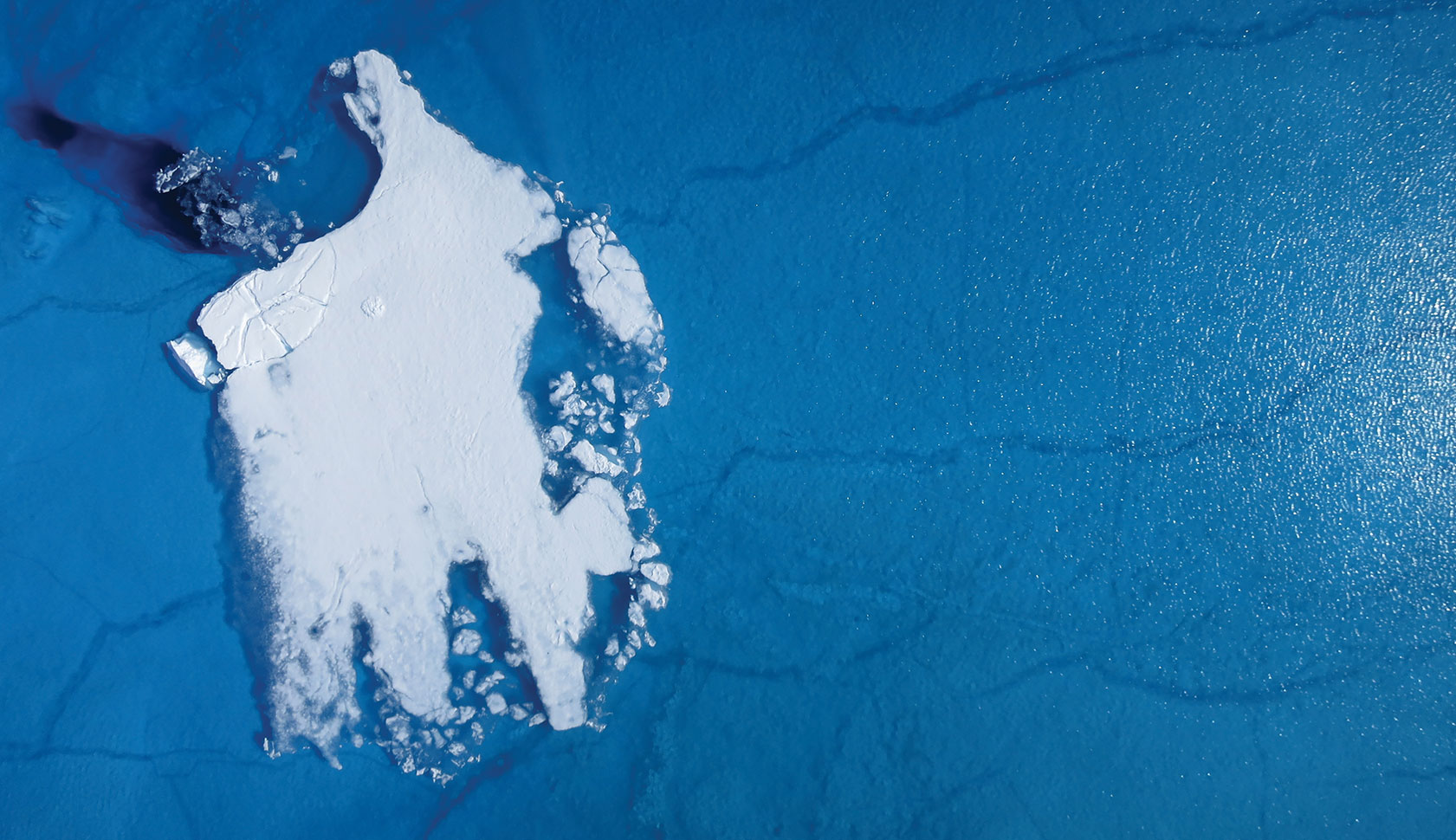
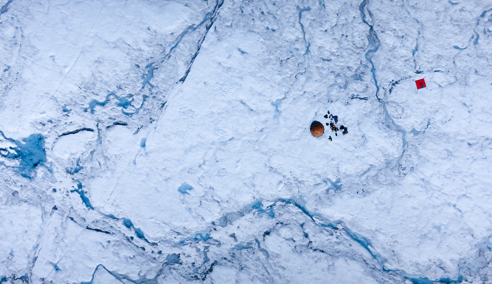

Over the past several decades, scientists have observed a significant increase in the melting of glacial land ice on the island of Greenland, spurring concerns about global sea level rise and the long-term effects of atmospheric warming. Thomas Mote, a Distinguished Research Professor of Geography at UGA, was part of a team that used satellite imagery to document an extreme ice sheet melt in 2012. On average, about half of the surface of Greenland’s ice sheet naturally melts in the summer. In 2012, an estimated 97 percent of the ice sheet surface had thawed by mid-July.
“Greenland is very much a harbinger of some of the climate change that we have seen over the latter century,” said Mote. “This was the first time we witnessed almost all of the ice sheet melt in the three decades since satellite surveillance began.”
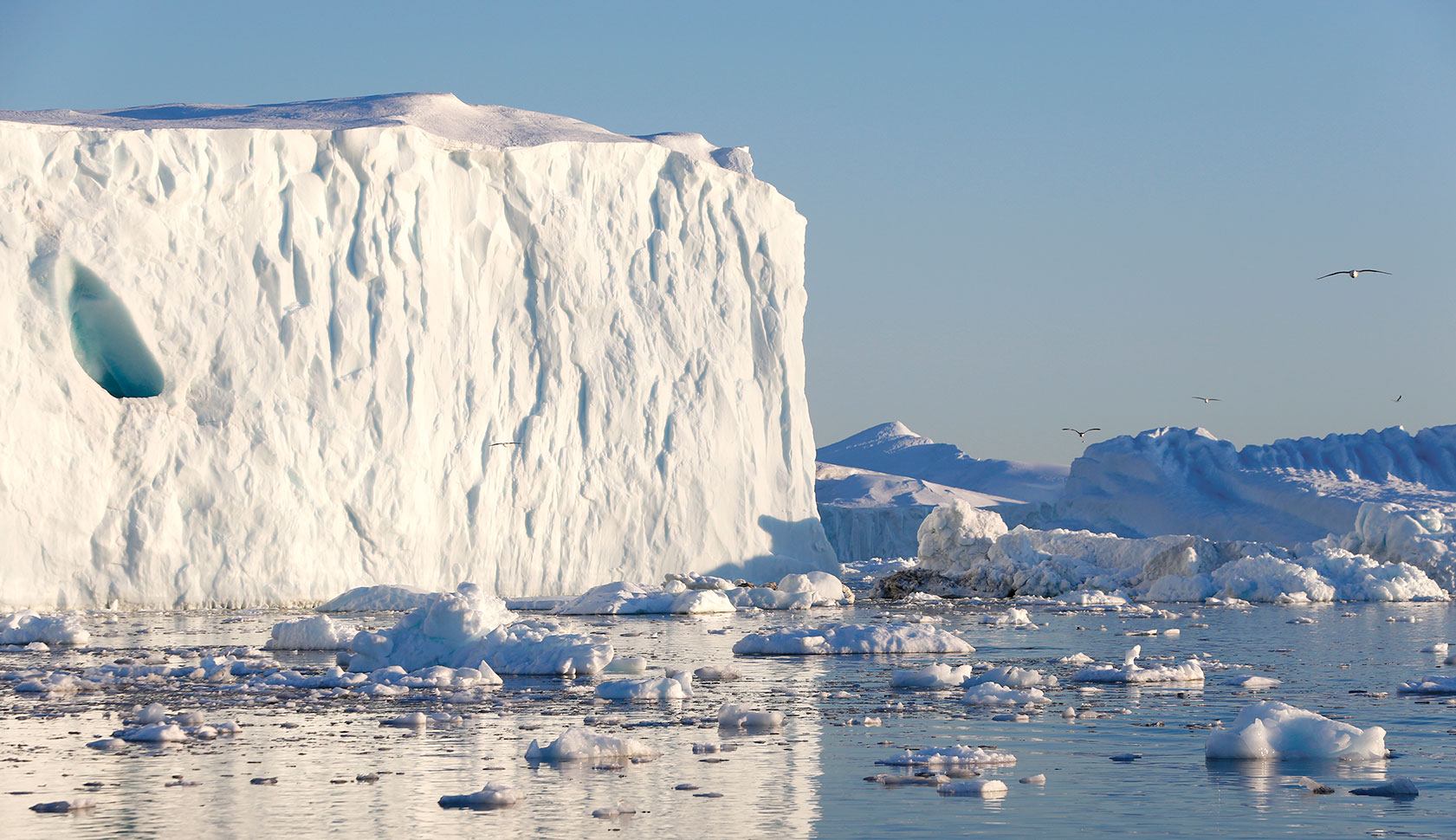
In addition to understanding what causes these extreme melting events, researchers also want to know what happens to the meltwater once it enters the ocean. Renato Castelao, an associate professor of marine sciences at UGA, helped create a simulation that tracks meltwater runoff under a variety of atmospheric conditions.
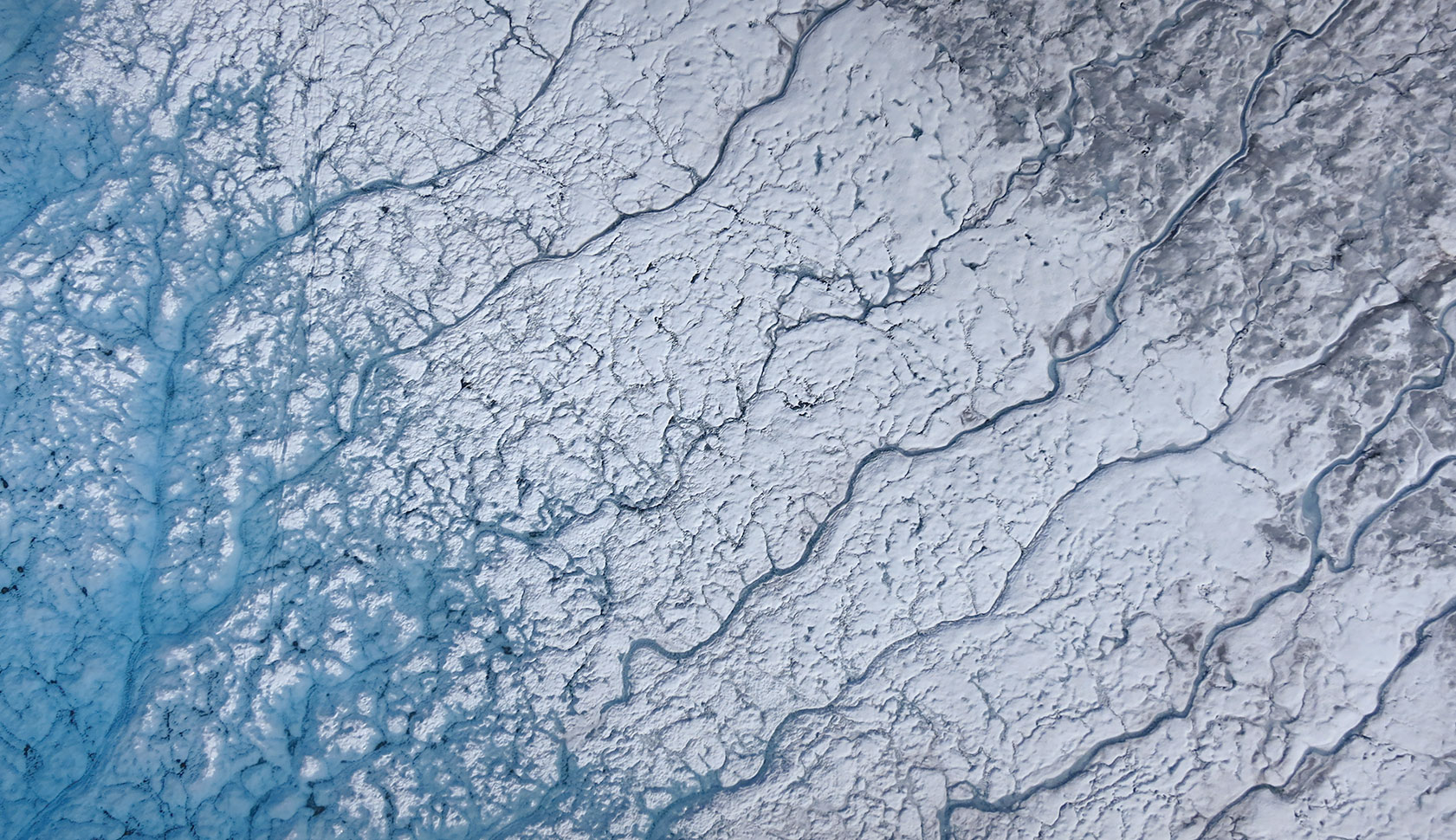
According to the model, wind and ocean currents often transport meltwater from Greenland’s east coast around the southern tip of Greenland on a westward journey that can take upward of 60 days. Meltwater from the west coast of Greenland is typically kept pinned to the coastline by strong trade winds, which push in northward toward Baffin Bay.
“Understanding the fate of meltwater is important, because research has shown that it can carry a variety of nutrients, which may impact biological production in the ocean,” Castelao said. “The meltwater that comes from the east coast could have different qualities from the meltwater on the west coast, including different nutrient compositions. We need to take the origins of this meltwater into account when we study the effects of ice sheet melt, as it could impact the oceans differently depending on where it comes from.”

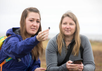
In a study published last year, Mote (featured above) and colleagues from universities around the world found evidence that links melting ice in Greenland to a phenomenon known as Arctic amplification—faster warming of the Arctic compared to the rest of the Northern Hemisphere.
“Last year was unique in the extensive melting that occurred on the northern reaches of the ice sheet, an area that usually has rather modest melt compared to Southern Greenland,” Mote said. “We identified an unusual configuration of the jet stream toward northern Greenland that led to this melt pattern.”
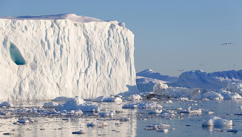
The Greenland ice sheet, which covers about 80 percent of Greenland, is the Earth’s second largest after the Antarctic ice sheet. If its layers of ice were to melt entirely, it would raise average global sea level by about 7 meters, or almost 23 feet. Learning more about the drivers of melting is essential to discerning how much sea level will rise in the future and how Greenland’s freshwater runoff will affect ocean circulation and ecology.