
The ability to predict problems with roads and bridges could help local and state governments make needed improvements before accidents occur, using technology being developed by a UGA engineering professor working in partnership with the Carl Vinson Institute of Government.
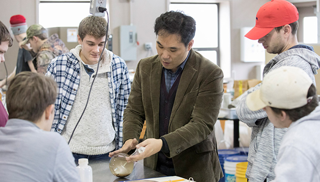
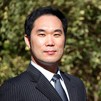
As a Public Service and Outreach (PSO) Faculty Fellow, Sung-Hee “Sonny” Kim, in the the School of Environmental, Civil, Agriculture and Mechanical Engineering at UGA’s College of Engineering, is using Ground Penetrating Radar (GPR) to look beneath the surface of roadways in a non-invasive manner and assess their condition beyond what the naked eye can see. Once the GPR has scanned the road, Kim uses that information to predict how the roadways will deteriorate in the future, and when government agencies should plan on repairing them.
“This is a really great tool for local and state governments,” said Kim. “[They can use] that information to predict how much budget should be spent this year or next year or upcoming years depending on the [road conditions]. They can manage the funds to maintain the roadway systems.”
“Other technologies just look at the pavement surface condition only, but our technology uses artificial intelligence and machine learning to predict future conditions based on continuously monitored GPR test data.”
Using funding provided by PSO to the Faculty Fellow’s academic department, Kim was able to upgrade his GPR and install it on a truck, effectively increasing the speed at which he can measure roadways from 3 MPH to 65 MPH. He and his team then spent the past year monitoring 10 different one-mile sections of highway in Athens-Clarke County.
Through his collaboration with the Vinson Institute, Kim was able to input his roadway data into the institute’s Geographic Information System (GIS), creating an interactive map that allows users to select a section of road and see its current and predicted future state.
“What Sonny’s technology and expertise allows is for brilliant imaging of those assets and to be able to use that information in a way that they can then determine where they need to invest their money,” said Stephan Durham, associate professor and assistant dean for Student Success & Outreach at the College of Engineering.
Kim has already been in contact with the Georgia Department of Transportation, which wants him to use his research to begin scanning major highway systems in the state this year. If successful, Kim hopes to eventually develop a map for the entire state.
“We’re very lucky to have [Kim] as a faculty member,” said Durham. “He’s great for us, but also great for the university as a whole, especially with the work he’s doing now with PSO.”
The Public Service and Outreach (PSO) Fellowship Program provides departmental support for tenure-track and tenured professors to immerse themselves in the work of a PSO unit for one semester. The experience offers opportunities for fellows to enhance their academic courses, conduct research and apply their academic expertise to outreach initiatives. An anticipated outcome of the fellowship experience is the sustained involvement with Public Service and Outreach after the semester ends.